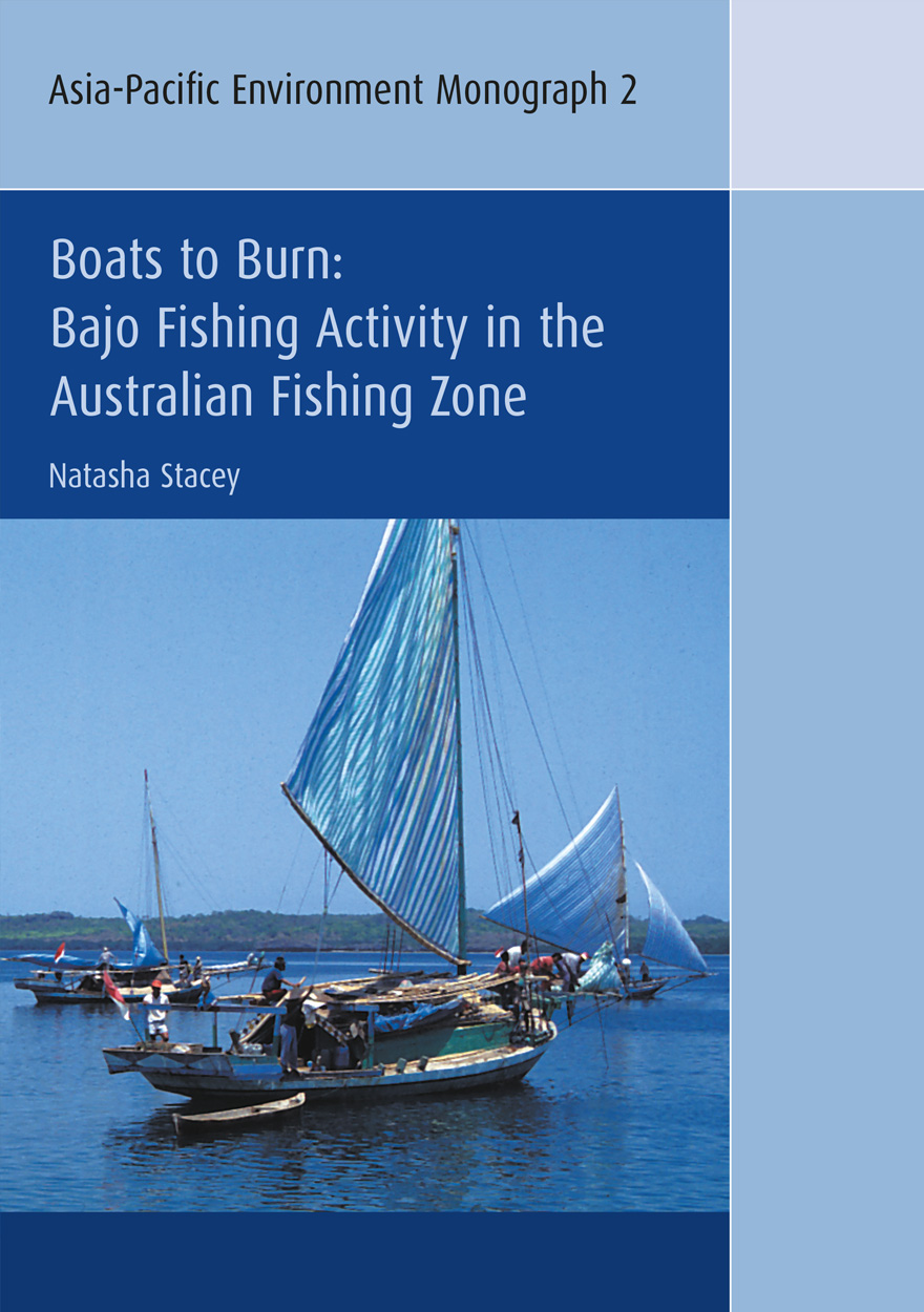
Boats to Burn
Bajo Fishing Activity in the Australian Fishing Zone
Authored by: Natasha StaceyPlease read Conditions of use before downloading the formats.
Description
Under a Memorandum of Understanding between Indonesia and Australia, traditional Indonesian fishermen are permitted access to fish in a designated area inside the 200 nautical mile Australian Fishing Zone (AFZ). However, crew and vessels are regularly apprehended for illegal fishing activity outside the permitted areas and, after prosecution in Australian courts, their boats and equipment are destroyed and the fishermen repatriated to Indonesia. This is an ethnographic study of one group of Indonesian maritime people who operate in the AFZ. It concerns Bajo people who originate from villages in the Tukang Besi Islands, Southeast Sulawesi. It explores the social, cultural, economic and historic conditions which underpin Bajo sailing and fishing voyages in the AFZ. It also examines issues concerning Australian maritime expansion and Australian government policies, treatment and understanding of Bajo fishing. The study considers the concept of “traditional” fishing regulating access to the MOU area based on use of unchanging technology, and consequences arising from adherence to such a view of “traditional”; the effect of Australian maritime expansion on Bajo fishing activity; the effectiveness of policy in providing for fishing rights and stopping illegal activity, and why Bajo continue to fish in the AFZ despite a range of ongoing restrictions on their activity.
Details
- ISBN (print):
- 9781920942946
- ISBN (online):
- 9781920942953
- Publication date:
- Jun 2007
- Note:
- Asia-Pacific Environment Monograph 2
- Imprint:
- ANU Press
- DOI:
- http://doi.org/10.22459/BB.06.2007
- Series:
- Asia-Pacific Environment Monographs
- Co-publisher:
- Resources, Environment & Development (RE&D)
- Disciplines:
- Arts & Humanities: Cultural Studies; Law; Social Sciences: Development Studies, Social Policy & Administration
- Countries:
- Australia; Southeast Asia: Indonesia
PDF Chapters
Please read Conditions of use before downloading the formats.
- Preliminary Pages (PDF, 79KB)
- Foreword (PDF, 104KB)
- Acknowledgments (PDF, 105KB)
- Abbreviations (PDF, 101KB)
- Contested Rights of Access (PDF, 85KB)
- Bajo Settlement History (PDF, 4.4MB)
- The Maritime World of the Bajo (PDF, 2.9MB)
- Bajo Voyages to the Timor Sea (PDF, 401KB)
- Australian Maritime Expansion (PDF, 4.0MB)
- Bajo Responses to Australian Policy (PDF, 1.8MB)
- Sailing, Fishing and Trading in 1994 (PDF, 6.2MB)
- An Evaluation of Australian Policy (PDF, 474KB)
- Appendix A. Sources on Indonesian Fishing in Australian Waters (PDF, 101KB)
- Appendix B. Memorandum of Understanding Between the Government of Australia and the Government of the Republic of Indonesia Regarding the Operations of Indonesian Traditional Fishermen in Areas of the Australian Exclusive Fishing Zone and Continental Shelf (7 November 1974) (PDF, 77KB)
- Appendix C. Agreed Minutes of Meeting Between Officials of Australia and Indonesia on Fisheries (29 April 1989) (PDF, 420KB)
- References (PDF, 121KB)
- Index (PDF, 174KB)
Other publications that may interest you